
5.2-magnitude earthquake strikes near Ruteng in East Nusa Tenggara
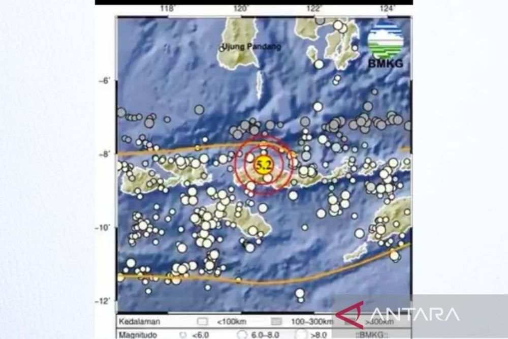
A 5.2-magnitude earthquake hit near Ruteng, the administrative capital of Manggarai Regency in East Nusa Tenggara, on Monday morning with no tsunami warning issued, as the region continues to experience seismic activity following the devastating 7.7-magnitude earthquake on August 15.
5.2-magnitude earthquake strikes near Ruteng in East Nusa Tenggara
A 5.2-magnitude earthquake struck near Ruteng, the administrative capital of Manggarai Regency in East Nusa Tenggara, on early Monday morning, with Indonesia's Meteorology, Climatology, and Geophysics Agency confirming no tsunami potential from the tremor.
The earthquake occurred at 4:20 a.m. local time, with its epicenter located approximately 38 kilometers northeast of Ruteng at coordinates 8.30 degrees south latitude and 120.62 degrees east longitude, according to BMKG. The agency, which operates more than 400 seismic sensors throughout Indonesia as part of its earthquake monitoring network, recorded the quake at a depth of 10 kilometers.
Ruteng still recovering from August 15 disaster
Ruteng, situated in the highlands of Flores Island at an elevation of 1,188 meters above sea level, has a population of approximately 67,813 as of mid-2025. The highland town and surrounding areas are still recovering from the catastrophic 7.7-magnitude earthquake that struck the region on August 15, which killed 75 people and damaged 1,378 schools on Flores Island.
The August 15 earthquake generated at least 235 aftershocks by 14:00 WIB on the same day, ranging from magnitude 2.5 to 6.2, with BMKG estimating that natural aftershock decay could take approximately two to three weeks. That earlier earthquake caused maximum Modified Mercalli intensity of VIII (Severe) shaking in several areas including Aesesa, Riung, and areas around Manggarai and Ruteng.
The devastating August 15 tremor also triggered a tsunami with waves measuring up to 1.61 meters in the coastal village of Riung in Ngada regency and 0.94 meters at Maurole-Ende. The disaster was caused by movement on the Flores back-arc thrust fault located north of the island, in an area where the Australian and Sunda tectonic plates converge.
Indonesia's seismic activity and relief efforts
Indonesia, an archipelago of more than 17,000 islands, is located on the Pacific Ring of Fire, a horseshoe-shaped arc of seismic faults and volcanoes where approximately 90 percent of the world's earthquakes occur. The nation experiences an average of approximately 264 earthquakes of magnitude 5 or higher per year, based on historical data from the past 26 years.
Following the August 15 disaster, landslides blocked sections of the Trans-Flores Highway, a roughly 700-kilometer road linking communities across the mountainous island, complicating rescue and relief efforts. The Indonesian government has since deployed significant resources to the affected region, including the naval vessel KRI Dr. Soeharso and airlifting 777 tons of earthquake aid to East Nusa Tenggara.