
Indonesia's meteorological agency forecasts rain and haze amid surge in wildfire activity
BMKG warns residents to monitor changing weather conditions as rain, haze and reduced visibility are expected across multiple Indonesian cities on Friday, amid a dramatic increase in wildfire hotspots nationwide.
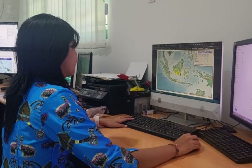
BMKG warns of rain, haze and poor visibility in several major cities
Indonesia's Meteorology, Climatology, and Geophysics Agency issued weather warnings for Friday, August 28, 2026, forecasting rain, haze and reduced visibility across several major cities as atmospheric conditions deteriorate amid an ongoing wildfire crisis.
BMKG forecaster Ranika Dwi told an online briefing from Jakarta that residents should closely monitor changing conditions throughout the day. Moderate rain is possible in Nabire, while light rain is expected in Medan, Jambi, Bengkulu, Tanjung Selor, Mamuju, Palu, Jayapura, Jayawijaya and Merauke.
The meteorological agency, which operates under the Minister in charge of transportation and is responsible for monitoring meteorology, climatology, air quality and geophysics nationwide, attributed the rain-producing clouds to wind convergence and confluence zones. These atmospheric mechanisms occur when winds from different directions meet, creating areas of rising air that trigger cloud formation and precipitation.
The convergence zones currently extend from western to eastern Indonesia, including the Malacca Strait, North Natuna Sea, Makassar Strait and Pacific Ocean north of Papua, according to Dwi.
Haze warnings linked to wildfire surge
BMKG warned that smoke or haze could affect Bandar Lampung, Pontianak and Manokwari, with hazy conditions also forecast in Pekanbaru, Padang, Palembang, Palangkaraya, Banjarmasin and Ternate. The haze warnings come as Indonesia faces a dramatic escalation in wildfire activity, with 3,736 hotspots detected nationwide in August compared with just 758 in July.
Kalimantan has been particularly affected, with more than 900 hotspots detected across the island by the week of August 21. East Kalimantan alone recorded 11,869 hotspots from August 1-21, according to BMKG's Balikpapan Station. Forestry ministry data showed 202,004 hectares of land were hit by wildfire from January to July 2026, surging from 107,465 hectares burned from January to June.
The wildfire crisis has escalated to regional significance, with the ASEAN Specialised Meteorological Centre activating its highest transboundary haze alert on August 27, as widespread smoke from Kalimantan and Sumatra drifted across Southeast Asia. Malaysia and Brunei agreed on August 24 to raise the issue of transboundary haze pollution at the ASEAN level as thick smoke from Indonesian wildfires affected neighboring countries.
El Niño extends fire season
BMKG expects the challenging conditions to persist, with El Niño forecast to last into early 2027. The critical period for forest and land fires is expected to continue from August to September 2026, corresponding with Indonesia's dry season that typically runs from June to October and creates conditions for forest and peatland fires.
Other areas, including Banda Aceh, Tanjung Pinang, Pangkal Pinang, Samarinda, most of Java, Denpasar, Mataram, Kupang, Makassar, Kendari, Gorontalo, Manado, Ambon and Sorong, are expected to be mostly partly cloudy to overcast on Friday.
BMKG urged residents to prepare for changing weather and regularly monitor atmospheric conditions through its official website at bmkg.go.id.